 Nyhet
Nyhet Kartor - KARTOR EUROPA
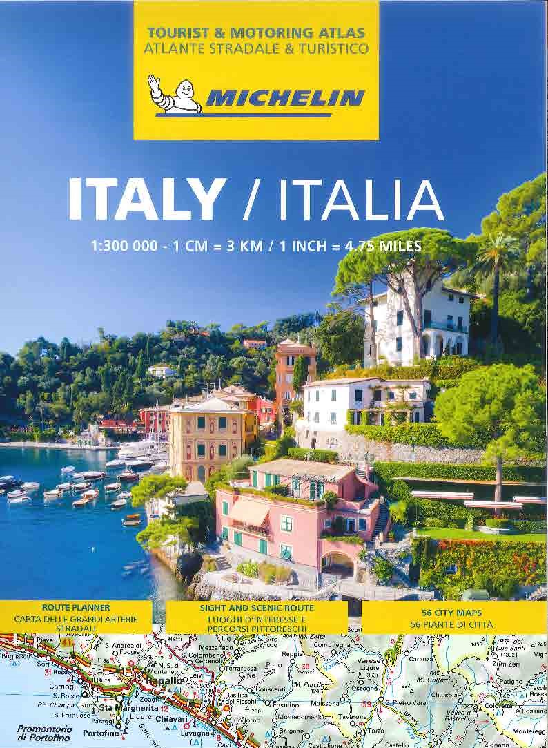
Italien Vägatlas Michelin 2025
295 kr
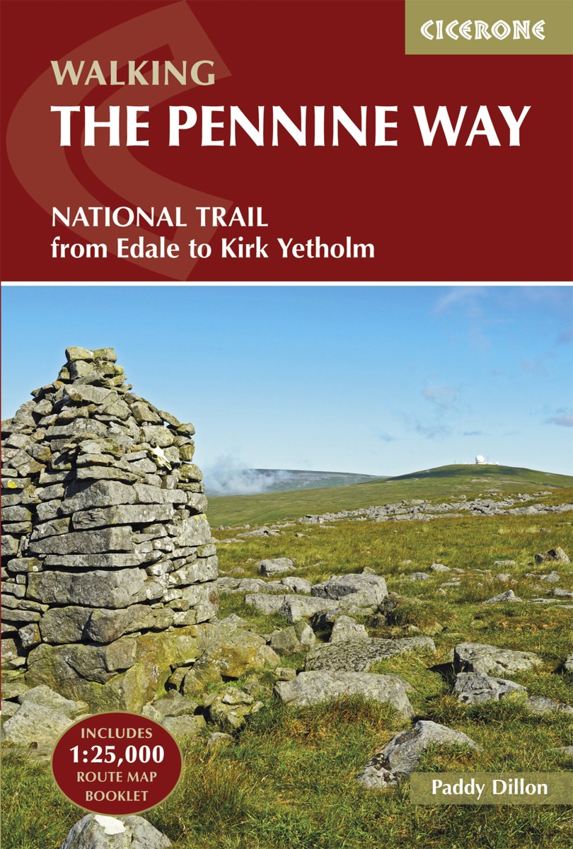
Cicerone Press 2021 - From Edale to Kirk Yetholm Guidebook to the Pennine Way National Trail with OS map booklet. The 265 mile route from Edale to Kirk Yetholm takes three weeks to walk and is suitable for fit and experienced long distance walkers. The route crosses the Peak District, Yorkshire Dales and North Pennines National Parks. Includes separate OS 1:25,000 map booklet of the route. Seasons This National Trail is essentially a summer walk, though it can be completed in spring or autumn, the winter months are solely for dedicated and experienced long-distance walkers. Centres Edale, Crowden, Hebden Bridge, Cowling, Gargrave, Malham, Horton in Ribblesdale, Hawes, Keld, Bowes, Middleton-in-Teesdale, Dufton, Alston, Hadrian s Wall, Bellingham, Byrness, Kirk Yetholm Difficulty The Pennine Way is a challenging walk, often across high, exposed moorlands. No problems on fine, sunny days, but some parts can be exceptionally difficult in bad weather. In mist, careful navigation is required, but on the whole the route is well-signposted. Suitable for backpackers and youth hostellers, but ample B B accommodation is also available. Previous long-distance walking experience is an advantage. Must See Peak District National Park - Kinder Scout, Bleaklow and Black Hill; South Pennines - Stoodley Pike and Brontë Country; Yorkshire Dales National Park - Malham Cove, Pen-y-Ghent and Great Shunner Fell; North Pennines AONB - Teesdale, High Cup and Cross Fell; Northumberland National Park - Hadrian s Wall and the Cheviot Hills
Cicerone Press 2021 - From Edale to Kirk Yetholm Guidebook to the Pennine Way National Trail with OS map booklet. The 265 mile route from Edale to Kirk Yetholm takes three weeks to walk and is suitable for fit and experienced long distance walkers. The route crosses the Peak District, Yorkshire Dales and North Pennines National Parks. Includes separate OS 1:25,000 map booklet of the route. Seasons This National Trail is essentially a summer walk, though it can be completed in spring or autumn, the winter months are solely for dedicated and experienced long-distance walkers. Centres Edale, Crowden, Hebden Bridge, Cowling, Gargrave, Malham, Horton in Ribblesdale, Hawes, Keld, Bowes, Middleton-in-Teesdale, Dufton, Alston, Hadrian s Wall, Bellingham, Byrness, Kirk Yetholm Difficulty The Pennine Way is a challenging walk, often across high, exposed moorlands. No problems on fine, sunny days, but some parts can be exceptionally difficult in bad weather. In mist, careful navigation is required, but on the whole the route is well-signposted. Suitable for backpackers and youth hostellers, but ample B B accommodation is also available. Previous long-distance walking experience is an advantage. Must See Peak District National Park - Kinder Scout, Bleaklow and Black Hill; South Pennines - Stoodley Pike and Brontë Country; Yorkshire Dales National Park - Malham Cove, Pen-y-Ghent and Great Shunner Fell; North Pennines AONB - Teesdale, High Cup and Cross Fell; Northumberland National Park - Hadrian s Wall and the Cheviot Hills
| Artikelnummer | 16253_gb |
|---|---|
| Kategori | Reseguider - Böcker > VANDRING - FRILUFTSGUIDER |
Walking The Pennine Way Cicerone skickas vanligtvis inom 1-2 arbetsdagar. Leveranstiden är normalt 1-3 arbetsdagar efter att paketet skickats. Vid beställningar över 500 kr är frakten kostnadsfri.
Ja, Walking The Pennine Way Cicerone finns i lager och är redo för leverans.
Vi erbjuder 30 dagars öppet köp på alla varor. Produkten ska vara oanvänd och i originalförpackning för att full återbetalning ska ske.
Vi accepterar betalning via Klarna (faktura, delbetalning, direktbetalning), samt kort (Visa och Mastercard). Alla betalningar sker via säker krypterad anslutning.