 Nyhet
Nyhet Kartor - KARTOR EUROPA
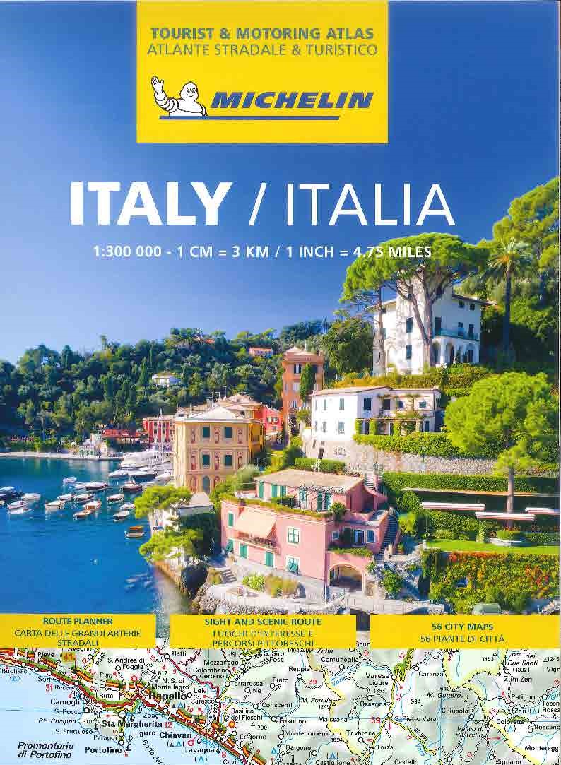
Italien Vägatlas Michelin 2025
295 kr
Mapping the World s Greatest Mountains The German Centre for Aviation and Space Travel created very precise digital pictures of thirteen mountains with the aid of satellite photographs taken from a height of several hundred kilometres. Scientists used these to produce models of the terrain, which were finally turned into photorealistic, virtual views from perspectives and heights that had been hitherto impossible. They capture all the individual features of these giant mountains as an almost tangible reality - the third dimension as a brand new experience. The location of the virtual camera at various places in the topographical map gives a precise picture of the three-dimensional form of each mountain, while infographics and descriptions of the geology, glaciology, geography and climatology detail its individual characteristics. These mountain portraits are completed by personal accounts written by some of the finest climbers in the world and accompanied by a selection of authentic photographs. The accounts from different eras join together with the latest satellite technology, the history of climbing, and the geographical background knowledge to create a unique and comprehensive picture of the mountains and their trail-blazing climbers.
Mapping the World s Greatest Mountains The German Centre for Aviation and Space Travel created very precise digital pictures of thirteen mountains with the aid of satellite photographs taken from a height of several hundred kilometres. Scientists used these to produce models of the terrain, which were finally turned into photorealistic, virtual views from perspectives and heights that had been hitherto impossible. They capture all the individual features of these giant mountains as an almost tangible reality - the third dimension as a brand new experience. The location of the virtual camera at various places in the topographical map gives a precise picture of the three-dimensional form of each mountain, while infographics and descriptions of the geology, glaciology, geography and climatology detail its individual characteristics. These mountain portraits are completed by personal accounts written by some of the finest climbers in the world and accompanied by a selection of authentic photographs. The accounts from different eras join together with the latest satellite technology, the history of climbing, and the geographical background knowledge to create a unique and comprehensive picture of the mountains and their trail-blazing climbers.
| Artikelnummer | 17924_gb |
|---|---|
| Kategori | Reseguider - Böcker > VÄRLDSATLASER - FAKTABÖCKER |
Unseen Extremes skickas vanligtvis inom 1-2 arbetsdagar. Leveranstiden är normalt 1-3 arbetsdagar efter att paketet skickats. Vid beställningar över 500 kr är frakten kostnadsfri.
Ja, Unseen Extremes finns i lager och är redo för leverans.
Vi erbjuder 30 dagars öppet köp på alla varor. Produkten ska vara oanvänd och i originalförpackning för att full återbetalning ska ske.
Vi accepterar betalning via Klarna (faktura, delbetalning, direktbetalning), samt kort (Visa och Mastercard). Alla betalningar sker via säker krypterad anslutning.
Denna produkt är från Okänt och innehåller den senaste tillgängliga kartinformationen. Kartförlagen uppdaterar sina kartor regelbundet för att säkerställa korrekthet.