 Nyhet
Nyhet Kartor - KARTOR EUROPA
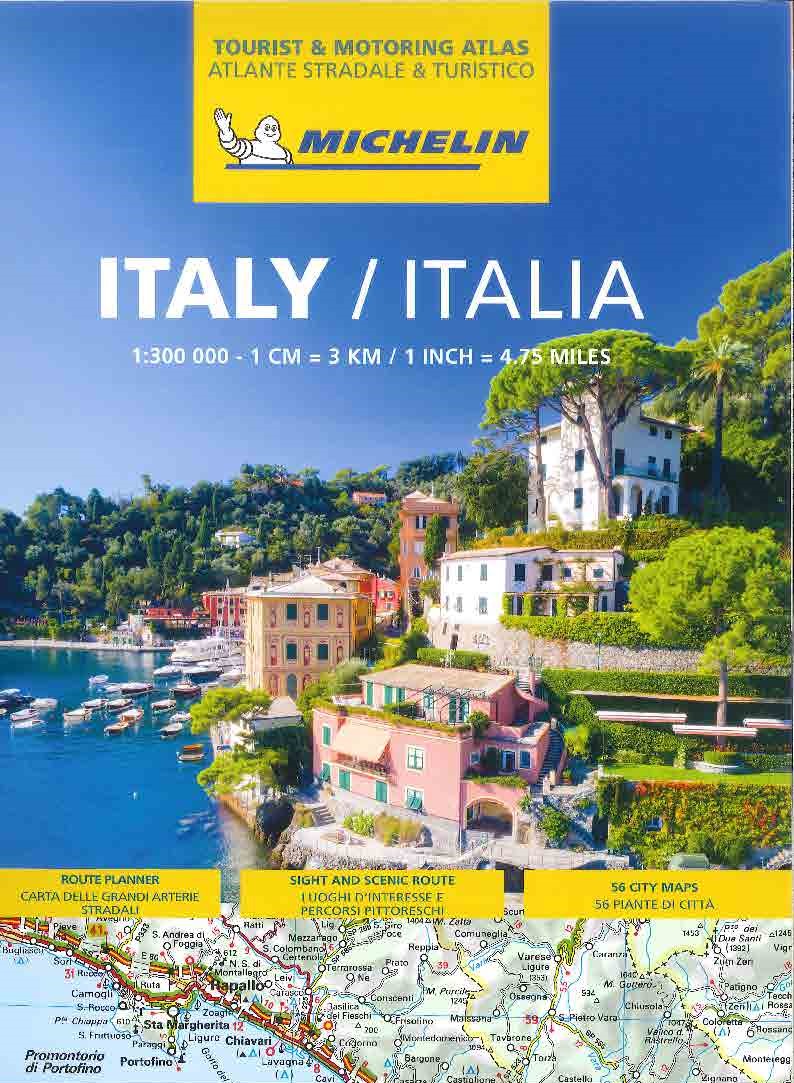
Italien Vägatlas Michelin 2025
295 kr
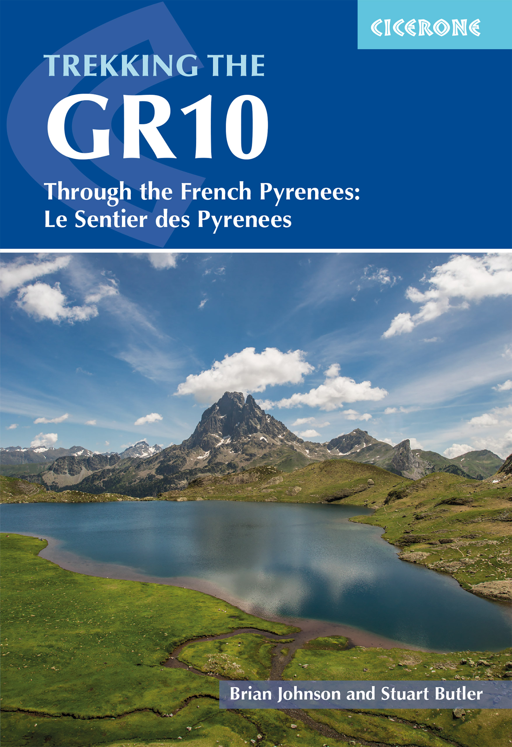
Cicerone Press 2023 Guidebook to walking the GR10, the Sentier des Pyrenees, a 955km trek across the French Pyrenees from Hendaye on the Atlantic coast to the Mediterranean coast at Banyuls-sur-Mer. The book describes 55 stages, with information on planning, transport, accommodation and facilities. Walk the entire GR10 in around 45 days or in shorter trips. Seasons Best July to October (June in a low snow year) Centres Hendaye-Plage on the Atlantic coast to Banyuls-sur-Mer on the Mediterranean through the French Pyrenees. Difficulty The GR10 is extremely well waymarked following good mountain paths with short sections of boulderfield and occasional very easy scrambling. It is tough because there is more steep climb and descent than on many long-distance paths. Good network of inexpensive accommodation for those who prefer not to camp. Frequent resupply possible Must See The GR10 starts with the rolling hills of the Basque country leading to the High Pyrenees including Pic du Midi d Ossau, Vignemale and Gavarnie. The remote Ariège with Mont Vallier follows and Canigou dominates the approach to the Mediterranean. Wildflower meadows are magnificent throughout. Guidebook to the GR10, a 955km trek across the French Pyrenees from Hendaye on the Atlantic Coast to the Mediterranean coast at Banyuls-sur-Mer. Described in 55-day stages of 7-27km, the route can be completed in its entirety, usually in around 45 days, or in shorter sections using the bus and rail links found throughout the Pyrenees. Step by step route descriptions are accompanied by 1:100,000 mapping and gradient profiles. Useful practical information is also included such as when to go, getting there and back, camping, accessing fuel and water, plus handy equipment tips and more. The easiest, oldest and most popular of the three long-distance routes that traverse the mountain range, the GR10 is well waymarked and follows good mountain paths. For many walkers, the highlight of the route is the magnificent wildflowers and associated butterflies. For others, it s the spectacular mountain terrain, while those keen on bird watching will delight in scanning the sky for the many varieties of birds of prey that can be seen in the region, from the massive Griffon vulture to the distinctly coloured Egyptian vulture.
Cicerone Press 2023 Guidebook to walking the GR10, the Sentier des Pyrenees, a 955km trek across the French Pyrenees from Hendaye on the Atlantic coast to the Mediterranean coast at Banyuls-sur-Mer. The book describes 55 stages, with information on planning, transport, accommodation and facilities. Walk the entire GR10 in around 45 days or in shorter trips. Seasons Best July to October (June in a low snow year) Centres Hendaye-Plage on the Atlantic coast to Banyuls-sur-Mer on the Mediterranean through the French Pyrenees. Difficulty The GR10 is extremely well waymarked following good mountain paths with short sections of boulderfield and occasional very easy scrambling. It is tough because there is more steep climb and descent than on many long-distance paths. Good network of inexpensive accommodation for those who prefer not to camp. Frequent resupply possible Must See The GR10 starts with the rolling hills of the Basque country leading to the High Pyrenees including Pic du Midi d Ossau, Vignemale and Gavarnie. The remote Ariège with Mont Vallier follows and Canigou dominates the approach to the Mediterranean. Wildflower meadows are magnificent throughout. Guidebook to the GR10, a 955km trek across the French Pyrenees from Hendaye on the Atlantic Coast to the Mediterranean coast at Banyuls-sur-Mer. Described in 55-day stages of 7-27km, the route can be completed in its entirety, usually in around 45 days, or in shorter sections using the bus and rail links found throughout the Pyrenees. Step by step route descriptions are accompanied by 1:100,000 mapping and gradient profiles. Useful practical information is also included such as when to go, getting there and back, camping, accessing fuel and water, plus handy equipment tips and more. The easiest, oldest and most popular of the three long-distance routes that traverse the mountain range, the GR10 is well waymarked and follows good mountain paths. For many walkers, the highlight of the route is the magnificent wildflowers and associated butterflies. For others, it s the spectacular mountain terrain, while those keen on bird watching will delight in scanning the sky for the many varieties of birds of prey that can be seen in the region, from the massive Griffon vulture to the distinctly coloured Egyptian vulture.
| Artikelnummer | 14744_gb |
|---|---|
| Kategori | Reseguider - Böcker > VANDRING - FRILUFTSGUIDER |
Trekking the GR10 Trail Cicerone skickas vanligtvis inom 1-2 arbetsdagar. Leveranstiden är normalt 1-3 arbetsdagar efter att paketet skickats. Vid beställningar över 500 kr är frakten kostnadsfri.
Ja, Trekking the GR10 Trail Cicerone finns i lager och är redo för leverans.
Vi erbjuder 30 dagars öppet köp på alla varor. Produkten ska vara oanvänd och i originalförpackning för att full återbetalning ska ske.
Vi accepterar betalning via Klarna (faktura, delbetalning, direktbetalning), samt kort (Visa och Mastercard). Alla betalningar sker via säker krypterad anslutning.