 Nyhet
Nyhet Kartor - KARTOR EUROPA
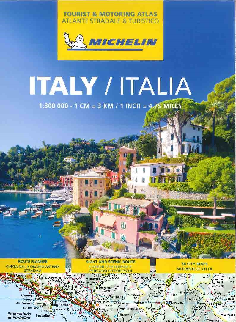
Italien Vägatlas Michelin 2025
295 kr
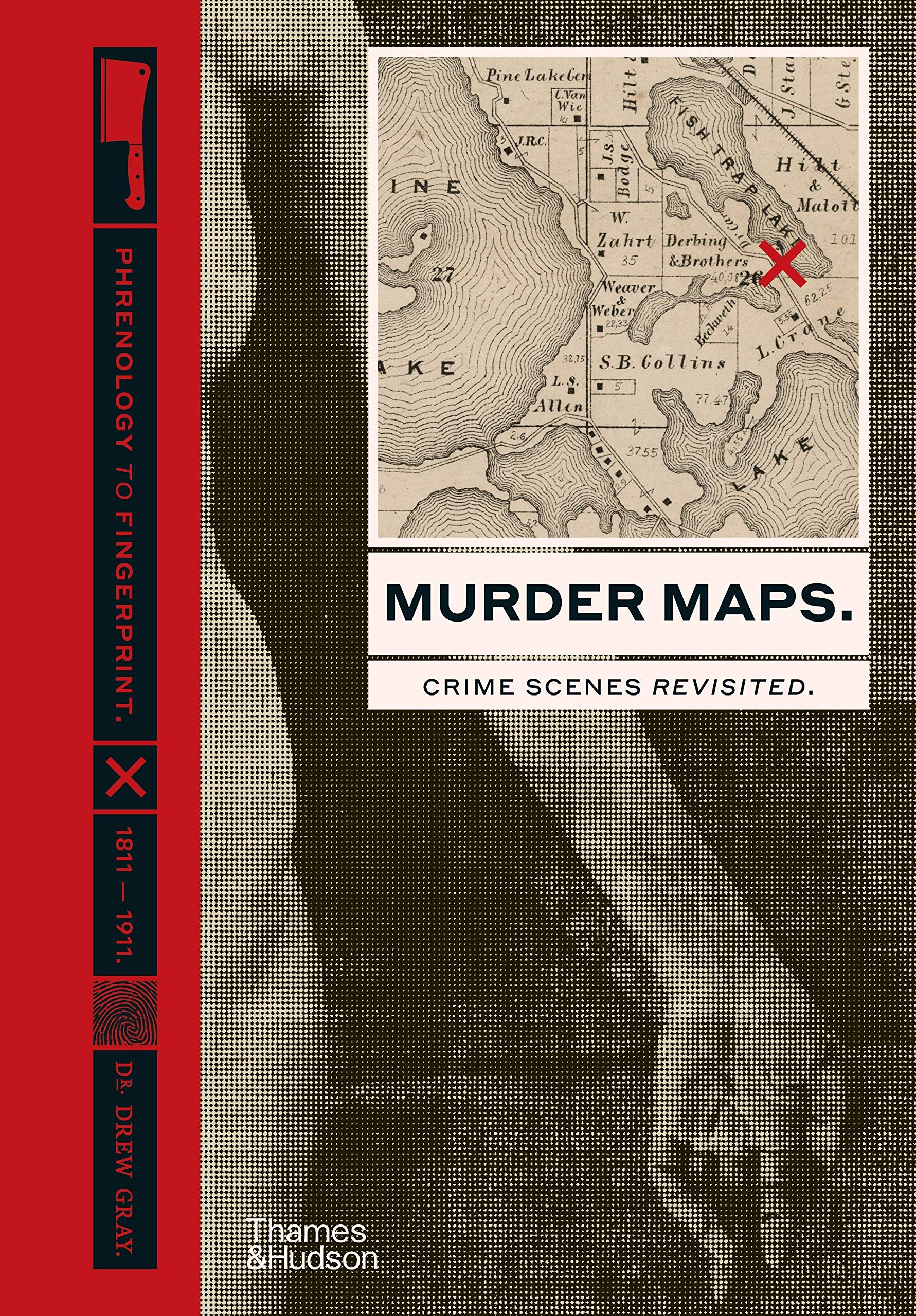
Ed. 2020 Crime Scenes Revisited; Phrenology to Fingerprint 1811-1911 The most captivating and intriguing 19th-century murders from around the world are re-examined in this disquieting volume, which takes readers on a perilous journey around the world s most benighted regions. In each area, murders are charted with increasing specificity: beginning with city- or region-wide overviews, drilling down to street-level diagrams and zooming-in to detailed floor plans. All the elements of each crime are meticulously replotted on archival maps, from the prior movements of both killer and victim to the eventual location of the body. The murders revisited range from the French Ripper Joseph Vacher, who roamed the French countryside brutally murdering and mutilating over twenty shepherds and shepherdesses, to H.H. Holmes, who built a hotel in Chicago to entrap, murder and dispose of its many guests. Crime expert Dr Drew Gray illuminates the details of each case, recounting both the horrifying particulars of the crimes themselves and the ingenious detective work that led to the eventual capture of the murderers. He highlights the development of police methods and technology: from the introduction of the police whistle to the standardization of the mugshot and from the invention of fingerprinting to the use of radio telegraphy to capture criminals. Disturbing crime-scene photographs by pioneers of policework, such as Alphonse Bertillon, and contemporary illustrations from the sensationalist magazines of the day, including the Illustrated Police News and the Petit Journal, complete the macabre picture
Ed. 2020 Crime Scenes Revisited; Phrenology to Fingerprint 1811-1911 The most captivating and intriguing 19th-century murders from around the world are re-examined in this disquieting volume, which takes readers on a perilous journey around the world s most benighted regions. In each area, murders are charted with increasing specificity: beginning with city- or region-wide overviews, drilling down to street-level diagrams and zooming-in to detailed floor plans. All the elements of each crime are meticulously replotted on archival maps, from the prior movements of both killer and victim to the eventual location of the body. The murders revisited range from the French Ripper Joseph Vacher, who roamed the French countryside brutally murdering and mutilating over twenty shepherds and shepherdesses, to H.H. Holmes, who built a hotel in Chicago to entrap, murder and dispose of its many guests. Crime expert Dr Drew Gray illuminates the details of each case, recounting both the horrifying particulars of the crimes themselves and the ingenious detective work that led to the eventual capture of the murderers. He highlights the development of police methods and technology: from the introduction of the police whistle to the standardization of the mugshot and from the invention of fingerprinting to the use of radio telegraphy to capture criminals. Disturbing crime-scene photographs by pioneers of policework, such as Alphonse Bertillon, and contemporary illustrations from the sensationalist magazines of the day, including the Illustrated Police News and the Petit Journal, complete the macabre picture
| Artikelnummer | 17925_gb |
|---|---|
| Kategori | Reseguider - Böcker > VÄRLDSATLASER - FAKTABÖCKER |
Murder Maps skickas vanligtvis inom 1-2 arbetsdagar. Leveranstiden är normalt 1-3 arbetsdagar efter att paketet skickats. Vid beställningar över 500 kr är frakten kostnadsfri.
Ja, Murder Maps finns i lager och är redo för leverans.
Vi erbjuder 30 dagars öppet köp på alla varor. Produkten ska vara oanvänd och i originalförpackning för att full återbetalning ska ske.
Vi accepterar betalning via Klarna (faktura, delbetalning, direktbetalning), samt kort (Visa och Mastercard). Alla betalningar sker via säker krypterad anslutning.
Denna produkt är från Okänt och innehåller den senaste tillgängliga kartinformationen. Kartförlagen uppdaterar sina kartor regelbundet för att säkerställa korrekthet.