 Nyhet
Nyhet Kartor - KARTOR EUROPA
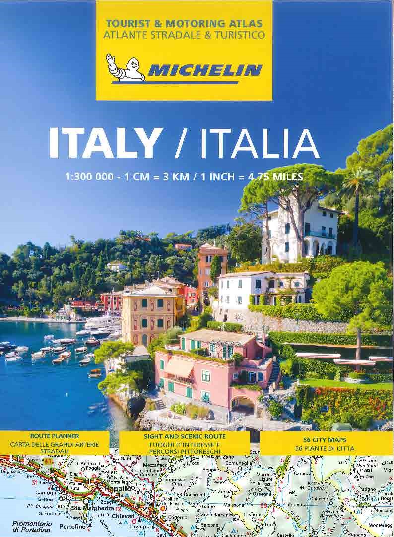
Italien Vägatlas Michelin 2025
295 kr

Imray ed. 2019 - Skala 1:1,5 milj First published in the 1950s under the editorship of EE Benest and later Konrad Nussbaum, the Imray map of the French inland waterway system has always been regarded as the essential reference for planning a visit to France by boat. It is now superseded by this completely recompiled and redrawn edition by David Edwards-May, the leading authority on World canals and waterways. The new cartography includes improved detail and presents essential information concerning distances and dimensions with a greater clarity than on previous editions. The map continues to cover the Low Countries and the western part of Germany and now also includes large scale insets of the Paris region and northeast France. The scale remains at 1:1 500 000
Imray ed. 2019 - Skala 1:1,5 milj First published in the 1950s under the editorship of EE Benest and later Konrad Nussbaum, the Imray map of the French inland waterway system has always been regarded as the essential reference for planning a visit to France by boat. It is now superseded by this completely recompiled and redrawn edition by David Edwards-May, the leading authority on World canals and waterways. The new cartography includes improved detail and presents essential information concerning distances and dimensions with a greater clarity than on previous editions. The map continues to cover the Low Countries and the western part of Germany and now also includes large scale insets of the Paris region and northeast France. The scale remains at 1:1 500 000
| Artikelnummer | 16475_gb |
|---|---|
| Kategori | Kartor - KARTOR EUROPA |
Map of the Inland Waterways of France skickas vanligtvis inom 1-2 arbetsdagar. Leveranstiden är normalt 1-3 arbetsdagar efter att paketet skickats. Vid beställningar över 500 kr är frakten kostnadsfri.
Ja, Map of the Inland Waterways of France finns i lager och är redo för leverans.
Vi erbjuder 30 dagars öppet köp på alla varor. Produkten ska vara oanvänd och i originalförpackning för att full återbetalning ska ske.
Vi accepterar betalning via Klarna (faktura, delbetalning, direktbetalning), samt kort (Visa och Mastercard). Alla betalningar sker via säker krypterad anslutning.