 Nyhet
Nyhet Kartor - KARTOR EUROPA
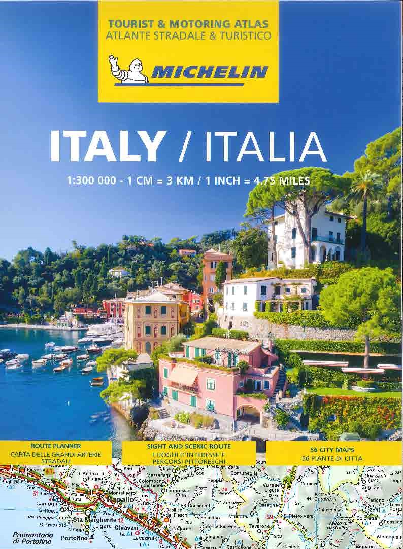
Italien Vägatlas Michelin 2025
295 kr
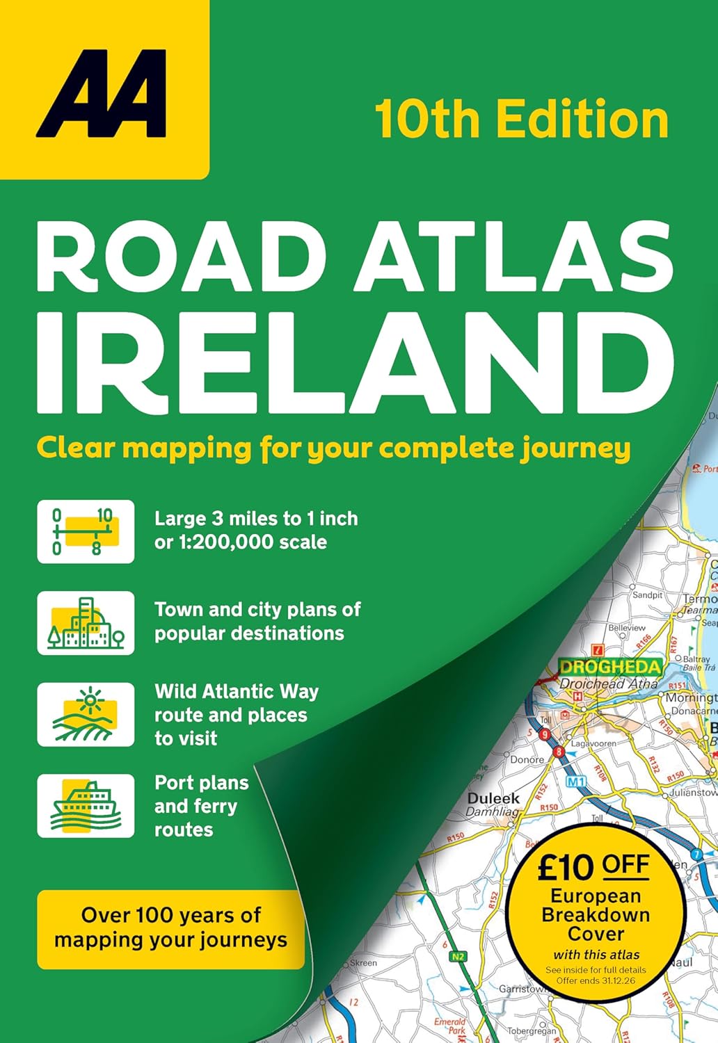
Fully updated A4 format road atlas showcasing Ireland s clearest mapping at 3 miles to 1 inch. The atlas includes AA approved camping sites, viewpoints, picnic sites, port plans and ferry routes. Plus, motorway strip maps detailing all of Ireland s motorway junctions. Toll motorways and motorway service areas are clearly highlighted. There are 10 detailed city and town plans with street indexes of Belfast, Cork, Derry Londonderry, Dublin, Galway, Killarney, Kilkenny, Limerick, Sligo and Waterford. An easy-to-read place name index, includes top tourist sites, airports and service areas. Irish language areas are shown on the main mapping with place names in both English and Irish. District maps of Dublin and Belfast show the surrounding area in more detail and a clear route planner map is included for journey planning across the country. Main Features: District plans of Dublin and Belfast Port plans and ferry routes Detailed touring information including the Wild Atlantic Way route Fast reference map grid and Irish grid references Includes £10 off AA European Breakdown cover promotion.
Fully updated A4 format road atlas showcasing Ireland s clearest mapping at 3 miles to 1 inch. The atlas includes AA approved camping sites, viewpoints, picnic sites, port plans and ferry routes. Plus, motorway strip maps detailing all of Ireland s motorway junctions. Toll motorways and motorway service areas are clearly highlighted. There are 10 detailed city and town plans with street indexes of Belfast, Cork, Derry Londonderry, Dublin, Galway, Killarney, Kilkenny, Limerick, Sligo and Waterford. An easy-to-read place name index, includes top tourist sites, airports and service areas. Irish language areas are shown on the main mapping with place names in both English and Irish. District maps of Dublin and Belfast show the surrounding area in more detail and a clear route planner map is included for journey planning across the country. Main Features: District plans of Dublin and Belfast Port plans and ferry routes Detailed touring information including the Wild Atlantic Way route Fast reference map grid and Irish grid references Includes £10 off AA European Breakdown cover promotion.
| Artikelnummer | 20630_gb |
|---|---|
| Kategori | Kartor - KARTOR EUROPA |
Irland Atlas AA skickas vanligtvis inom 1-2 arbetsdagar. Leveranstiden är normalt 1-3 arbetsdagar efter att paketet skickats. Vid beställningar över 500 kr är frakten kostnadsfri.
Ja, Irland Atlas AA finns i lager och är redo för leverans.
Vi erbjuder 30 dagars öppet köp på alla varor. Produkten ska vara oanvänd och i originalförpackning för att full återbetalning ska ske.
Vi accepterar betalning via Klarna (faktura, delbetalning, direktbetalning), samt kort (Visa och Mastercard). Alla betalningar sker via säker krypterad anslutning.