 Nyhet
Nyhet Kartor - KARTOR EUROPA
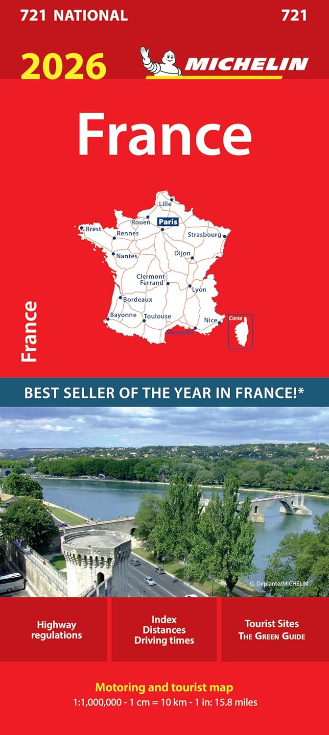
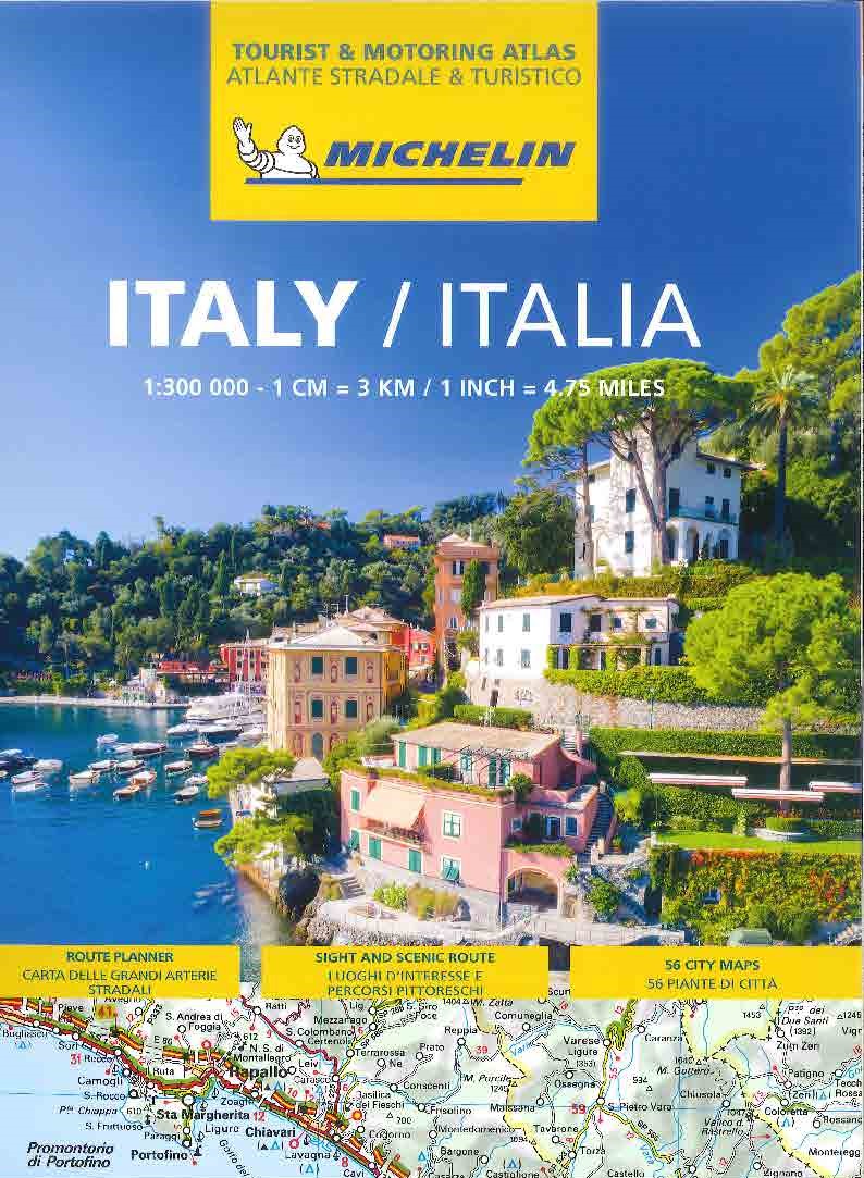
Italien Vägatlas Michelin 2025
295 kr
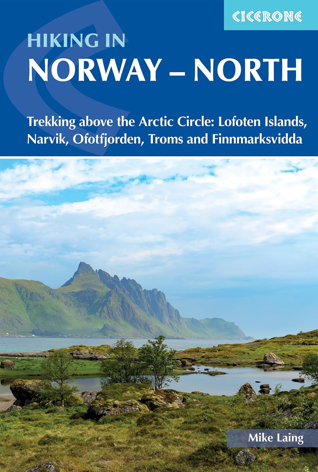
Cicerone 2024 Trekking above the Arctic Circle: Lofoten Islands, Narvik, Ofotfjorden, Troms and Finnmarksvidda Guidebook to trekking in Norway above the Arctic Circle, including the Lofoten Islands, the mountains around Narvik and Ofotfjord, Tromso and the Troms region, and Finnmarksvidda in the far north east. Treks range from 48 to 165km in length and take between four and ten days to walk. Includes 1:100,000 maps, itineraries and accommodation guide. Experience the remote beauty of northern Norway with this guidebook to five multi-day hikes above the Arctic Circle. From the dramatic island landscapes of the Lofoten Long Crossing to the open tundra of the Finnmarksvidda, these trails showcase the mountains, fjords, and wilderness that define the northernmost reaches of Europe. Hike across rugged peaks, follow reindeer migration routes, and explore wild landscapes that are at their best in the brief subarctic summer. Suitable for experienced hikers and backpackers with good fitness, the routes range from 48-165km (30-103 miles) and take between 4 and 10 days to complete. The five included treks - the Lofoten Long Crossing, the Mountains of Narvik, the Mountains of Ofotfjorden, the Troms Border Trail, and Finnmarksvidda - offer a variety of landscapes and challenges, some crossing into Sweden or Finland. Access is straightforward via public transport, with accommodation ranging from DNT huts and campsites to opportunities for wild camping. Detailed, stage-by-stage descriptions for five multi-day northern Norway hikes, from the Lofoten Long Crossing to Finnmarksvidda vClear directions supported by 1:100,000 maps for each stage, with 1:500,000 overview maps to help plan multi-day treks Route summary tables, stage facilities planner, and accommodation listings for DNT huts, campsites and wild-camp locations Practical information on transport, refreshments, and logistics for accessing remote Norwegian trails by bus or ferry Alternative itineraries where relevant, allowing flexibility in distance or route for each trek Advice on planning for conditions, including snow at elevation, brief subarctic summer, and navigation in remote terrain Downloadable GPX files for all five routes to support digital navigation on GPS devices or smartphones
Cicerone 2024 Trekking above the Arctic Circle: Lofoten Islands, Narvik, Ofotfjorden, Troms and Finnmarksvidda Guidebook to trekking in Norway above the Arctic Circle, including the Lofoten Islands, the mountains around Narvik and Ofotfjord, Tromso and the Troms region, and Finnmarksvidda in the far north east. Treks range from 48 to 165km in length and take between four and ten days to walk. Includes 1:100,000 maps, itineraries and accommodation guide. Experience the remote beauty of northern Norway with this guidebook to five multi-day hikes above the Arctic Circle. From the dramatic island landscapes of the Lofoten Long Crossing to the open tundra of the Finnmarksvidda, these trails showcase the mountains, fjords, and wilderness that define the northernmost reaches of Europe. Hike across rugged peaks, follow reindeer migration routes, and explore wild landscapes that are at their best in the brief subarctic summer. Suitable for experienced hikers and backpackers with good fitness, the routes range from 48-165km (30-103 miles) and take between 4 and 10 days to complete. The five included treks - the Lofoten Long Crossing, the Mountains of Narvik, the Mountains of Ofotfjorden, the Troms Border Trail, and Finnmarksvidda - offer a variety of landscapes and challenges, some crossing into Sweden or Finland. Access is straightforward via public transport, with accommodation ranging from DNT huts and campsites to opportunities for wild camping. Detailed, stage-by-stage descriptions for five multi-day northern Norway hikes, from the Lofoten Long Crossing to Finnmarksvidda vClear directions supported by 1:100,000 maps for each stage, with 1:500,000 overview maps to help plan multi-day treks Route summary tables, stage facilities planner, and accommodation listings for DNT huts, campsites and wild-camp locations Practical information on transport, refreshments, and logistics for accessing remote Norwegian trails by bus or ferry Alternative itineraries where relevant, allowing flexibility in distance or route for each trek Advice on planning for conditions, including snow at elevation, brief subarctic summer, and navigation in remote terrain Downloadable GPX files for all five routes to support digital navigation on GPS devices or smartphones
| Artikelnummer | 21488_gb |
|---|---|
| Kategori | Reseguider - Böcker > VANDRING - FRILUFTSGUIDER |
Hiking in Norway - North Cicerone skickas vanligtvis inom 1-2 arbetsdagar. Leveranstiden är normalt 1-3 arbetsdagar efter att paketet skickats. Vid beställningar över 500 kr är frakten kostnadsfri.
Ja, Hiking in Norway - North Cicerone finns i lager och är redo för leverans.
Vi erbjuder 30 dagars öppet köp på alla varor. Produkten ska vara oanvänd och i originalförpackning för att full återbetalning ska ske.
Vi accepterar betalning via Klarna (faktura, delbetalning, direktbetalning), samt kort (Visa och Mastercard). Alla betalningar sker via säker krypterad anslutning.