 Nyhet
Nyhet Kartor - KARTOR EUROPA
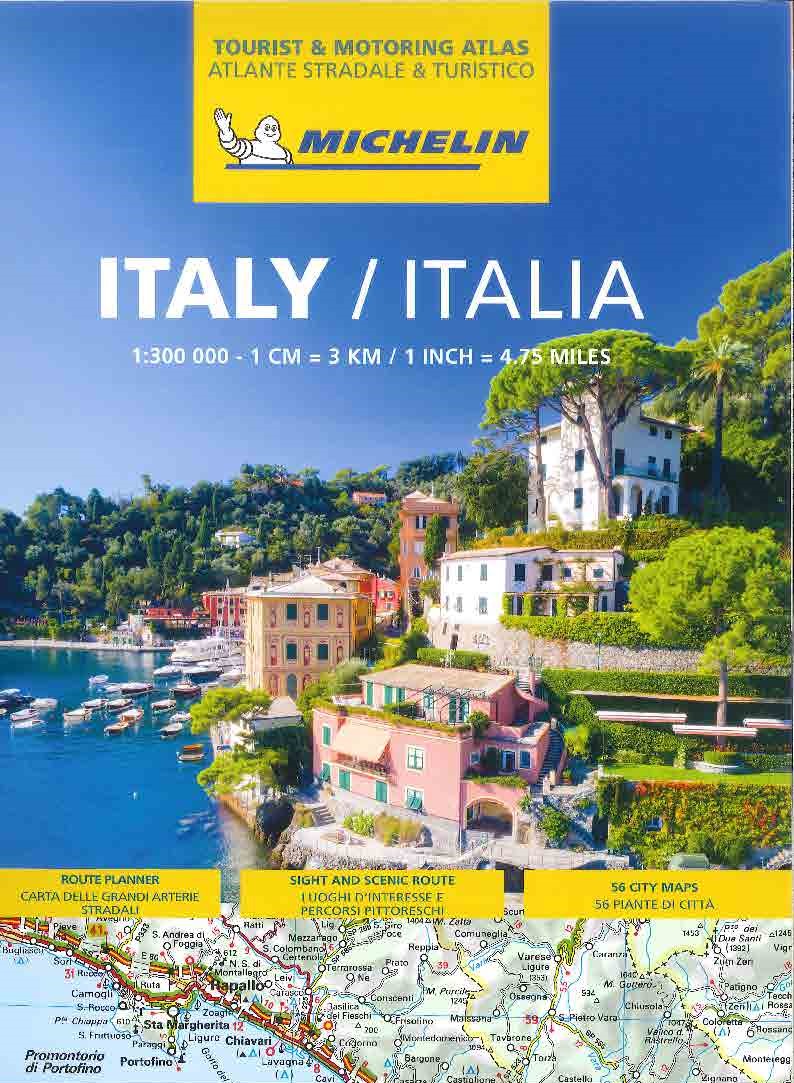
Italien Vägatlas Michelin 2025
295 kr
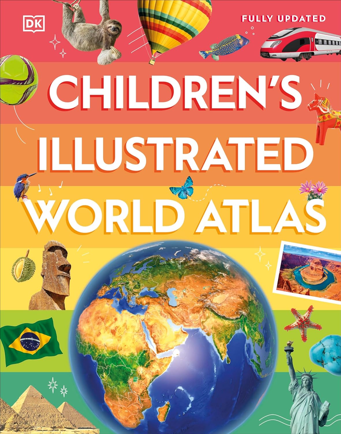
Take young readers on the ultimate round-the-world trip with this impressive atlas - packed full of beautiful illustrations and photographs. Discover the world map-by-map with this exciting world atlas book for children, featuring more than 50 maps! Each page is filled with fascinating information, facts and colorful illustrations of our world. Children aged 9-12 will love to learn all about the many countries, cultures and people of the world through vibrant maps. Fascinating facts, local stories, vivid pictures, and clear, satellite-based maps together make this atlas a global yet personal experience for young readers. This illustrated atlas book for children offers: Bite-sized information giving the profiles, facts, stats and flags of every country. Pictures and stories explaining the society, culture and history of each region. Maps created using satellite imagery providing a clear view of the world map-by-map. A variety of topics covered, including population density, wealth, and internet access shown through graphics. From Bangkok s floating markets to the carnival in Venice, the Children s Illustrated World Atlas brings together views from windows all over the world. This illustrated atlas not only portrays regions, such as the Siberian wastes, with beautifully detailed maps but also describes the peoples who live there.
Take young readers on the ultimate round-the-world trip with this impressive atlas - packed full of beautiful illustrations and photographs. Discover the world map-by-map with this exciting world atlas book for children, featuring more than 50 maps! Each page is filled with fascinating information, facts and colorful illustrations of our world. Children aged 9-12 will love to learn all about the many countries, cultures and people of the world through vibrant maps. Fascinating facts, local stories, vivid pictures, and clear, satellite-based maps together make this atlas a global yet personal experience for young readers. This illustrated atlas book for children offers: Bite-sized information giving the profiles, facts, stats and flags of every country. Pictures and stories explaining the society, culture and history of each region. Maps created using satellite imagery providing a clear view of the world map-by-map. A variety of topics covered, including population density, wealth, and internet access shown through graphics. From Bangkok s floating markets to the carnival in Venice, the Children s Illustrated World Atlas brings together views from windows all over the world. This illustrated atlas not only portrays regions, such as the Siberian wastes, with beautifully detailed maps but also describes the peoples who live there.
| Artikelnummer | 19861_gb |
|---|---|
| Kategori | Reseguider - Böcker - VÄRLDSATLASER - FAKTABÖCKER - Faktaböcker |
Childrens Illustrated World Atlas skickas vanligtvis inom 1-2 arbetsdagar. Leveranstiden är normalt 1-3 arbetsdagar efter att paketet skickats. Vid beställningar över 500 kr är frakten kostnadsfri.
Ja, Childrens Illustrated World Atlas finns i lager och är redo för leverans.
Vi erbjuder 30 dagars öppet köp på alla varor. Produkten ska vara oanvänd och i originalförpackning för att full återbetalning ska ske.
Vi accepterar betalning via Klarna (faktura, delbetalning, direktbetalning), samt kort (Visa och Mastercard). Alla betalningar sker via säker krypterad anslutning.
Denna produkt är från Okänt och innehåller den senaste tillgängliga kartinformationen. Kartförlagen uppdaterar sina kartor regelbundet för att säkerställa korrekthet.